Copyright 2020 - 2021 irantour.tours all right reserved
Designed by Behsazanhost
Marvdasht Plain as old as Iran history
Marvdasht
Marvdasht Plain is as old as Iran's history
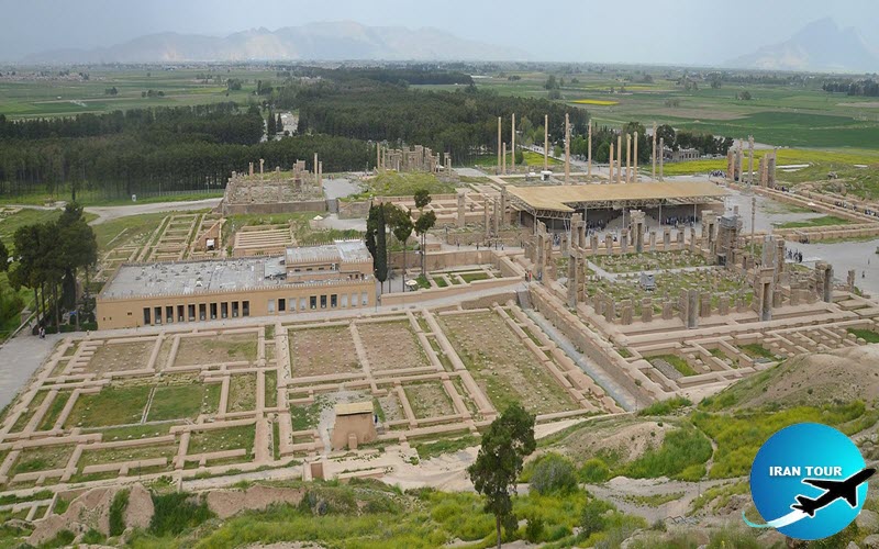
Despite its relatively small size, the plain of Marvdasht contains the most important relics from the Achaemenid and Sasanian periods in Fars, if not in the whole of Iran. These sights can be seen on a one-day trip from Shiraz. The plain of Marvdasht lies to the northeast of Shiraz. It stretches for some 40 km from north to south, and 30 km from west to east. The Kor River (the ancient Araxes) enters it from the northwest, and flows in a southeasterly direction until it is joined, near the Khan Bridge (see below), by the Polvar River. The enlarged river then continues its southeasterly course and empties into Lake Bakhtegan. On the east, the plain is bordered by the Mountain of Mercy, at the foothills of which stand the famous remains of Persepolis. Since the ancient past, the Marvdasht Plain has held civilized human settlements, and a great number of prehistoric sites have been identified within this area.
 |
Among the most famous archaeological sites in Marvdasht are the two adjacent mounds of Tal-e Bakun, continuously inhabited from c. 4,200 to c. 3,000 B.C. The excavations conducted there uncovered several building levels, numerous flint implements, stamp and button seals, animal and human figurines, and many delicate pottery vessels. Unexpectedly, the site contained a substantial number of unbroken vessels, sometimes nested in one another and standing on the floors of the houses. It seems that Bakun was not just a simple farming community, but an important center for manufacturing pottery and other goods, and with an incipient administrative technology. Tal-e Shaqa is another important archaeological site in Marvdasht. Measuring about 250 m long, 210 wide, and 9 m high, this is the largest prehistoric mound in the region. During the excavations, many delicate pottery vessels from the 3rd millennium B.C. were unearthed.
 |
Among the most fascinating archaeological sites in Marvdasht is Tepe Malian, the site of the fabled Elamite city of Anshan. The ancient city, with an area of more than 200 hectares, was enclosed by a rectangular wall of mud brick, now much eroded. The massive defense wall protected well-built rectangular houses of mud brick, as well as workshops complete with fireplaces and ovens. In some buildings, painted geometric designs decorated the plastered walls of the rooms. The
habitation mound within the enclosure occupied about 130 hectares. Although inhabited from 5,500 B.C. or earlier, Anshan flourished during the 3rd millennium B.C and was first mentioned in Akkadian and Sumerian texts from approximately the same era. During the first third of the 2nd millennium B.C., Anshan was severely depopulated, while Susa, on the other hand, expanded significantly into a major political center. This may have been the period when the main political center of Elam was moved from its traditional location at Anshan, to Susa. Apart, the founder of the Eparti dynasty is the first-known Elamite leader to bear the title of King of Anshan and Susa. With Susa having been established as the main Elamite seat of government, the importance of Anshan somewhat diminished. However, an archaeological survey of the Elamite remains at Malian has revealed that whenever Susa was threatened by its enemies, the court took refuge at Anshan. In the middle of the 1st millennium B.C., Anshan became the homeland of the Achaemenid rulers, though only a handful of Achaemenid shards found at the site suggest that the Achaemenians did not maintain a significant settlement there. Evidence of later occupation includes Parthian and Sassanid coins found in burials and surface evidence for Sasanid and Islamic occupations.
- Details
- Category: Museums of Shiraz


